

G Maps: Live View

I’m a big fan of map and GPS applications. I spent a good bit of time building maps using the Google Maps API this past summer while tracking my cousin through the Pacific Crest Trail. I don’t know why, but I love creating travel maps for trips. Need help planning your vacation somewhere new? I got you. But for now, let me tell you about a nifty little feature I came across while visiting my in-laws in New Jersey last year. It’s nothing new, but it’s new to me.
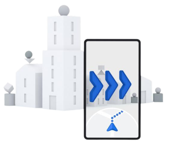
Google Maps is loaded with useful GPS and scheduling features, but one of Google Maps’ most innovative features is Live View, which allows users to see their surroundings in real-time while walking to a destination as the directions are displayed on the screen. This feature is designed to make it easier for users to find their way around new places, and it can be a lifesaver for anyone in unfamiliar territory.
Live View was first announced in May 2019 and was made available to a limited number of users in select cities in the United States. It was later made available to more users and in more cities worldwide. The technology behind Live View uses a combination of GPS, machine learning, and computer vision to overlay virtual information on top of the user's camera view of the real world.
Live View uses augmented reality technology to display the user's surroundings on the screen of their device, overlaid with arrows and directions to guide them to their destination. It also displays the name and distance of nearby streets, buildings, and landmarks, making it easy for users to orient themselves.
For example, imagine you're visiting a new city and you're trying to find a specific restaurant. You can open the Google Maps app, search for the restaurant, and walking directions, and then select the Live View option. The app will use your device's camera to show you a live view of the streets and buildings around you, overlaid with directions that will take you to the restaurant.
Now I may love technology and think this feature is pretty cool, but I don’t recommend relying solely on Google Maps and walking around with your head down weaving through intersections like a freshman in college. I say if you’re having a tough time finding the spot, pull this out and start your search so it puts you in the right direction. I’m the furthest from directionally challenged myself, but sometimes in New York where you’re headed is tucked down the alley and down a staircase to the guts of the city. And this helps.

Use Live View in Google Maps
Live View becomes available when you choose walking directions in Google Maps. 🚶
From the Explore or Go tab, enter a location or search for an address. You can also go to the Saved tab to choose a spot you’ve saved in Google Maps.
When Google Maps finds the correct location, tap Directions.
Select the walking icon at the top below the destination name.
At the bottom, choose Live View.
The first time you use Live View, you’ll see prompts explaining the feature, asking you to be safe, and requesting access to your camera. Review and tap to move through the prompts and provide camera access.
Point your camera toward buildings, street signs, or other landmarks that help Google Maps guide you.
Follow the onscreen directions as you walk to your destination.
📍 Live View is a great addition to Google Maps for anyone traveling or visiting somewhere new.
Give it a go. Tell Granny. Then tell me what you think.