

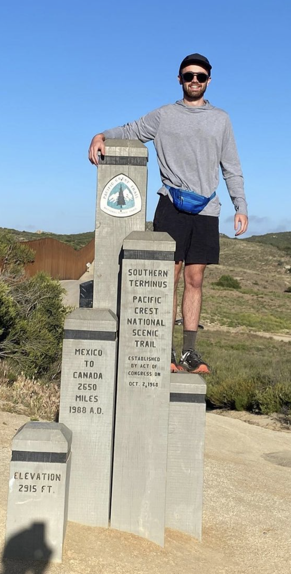
Dylan + The PCT

My cousin Dylan recently graduated from UAB. A week later his mother and I put him on a plane to California to spend the next several months hiking the Pacific Crest Trail from Mexico to Canada. (Why didn’t anyone tell me that was an option?) I know how nerve-racking that must be for his mother, my dear Aunt Christy. So I set up some pages on my website to track his trip and keep everyone informed about the conditions along the trail.
Fortunately, he brought along his Garmin inReach Mini 2 satellite device 📡 to track the trip, communicate with loved ones, and ask for help, God forbid he ever needs it. This little thing has proven to be really impressive. 10/10 (Made me want the Fenix 6 even more.)
This has been a fun project for me personally. HTML, Javascript, Google Maps API, and GIS Mapping? Sign me up. 🤓 I’ve done enough research that I feel like I’m prepping for the trek at this point. I had no idea the Pacific Crest Trail existed until Dylan brought it to my attention. These views along the trail, the culture and communities, and the differences between sections are amazing.

Check out the pages for maps, news, weather, and points of interest along the hike. Follow his Instagram for gnarly updates throughout the trail. Check out the post where a tarantula woke him up. 🕷
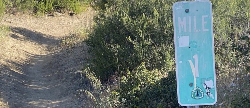
I’m updating everything regularly based on where he is on the hike. He’s 200 miles in at the moment but just getting started. 2400+ miles to go.
Cheers, Dylan! 🍺